Welcome
I'm a GIS analyst focused on environmental systems, landscape analysis, and spatial data visualization. My work sits at the intersection of fieldwork and technology, from stream surveys and drone photogrammetry to interactive web maps and large-scale data dashboards. I'm drawn to problems where geography matters: watershed health, land use change, canopy cover, and the kind of questions that only make sense when you can see them on a map. Before GIS, I spent over a decade in the U.S. Army as an EOD Team Leader and Infantryman, then managed federal infrastructure contracts across the country. That background gave me a high tolerance for ambiguity, a habit of thinking spatially under pressure, and a genuine appreciation for what accurate field data is worth. I brought all of that with me to San Diego State University, where I earned a B.A. in Geography, summa cum laude, with coursework concentrated in GIS. I'm now pursuing a Graduate Certificate in Geospatial Intelligence Analytics at Penn State.
Featured Work
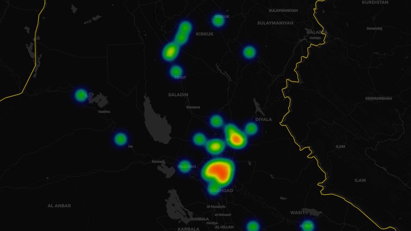
OIF/OEF SIGACTS Dashboard
1.8M+ significant activities in Iraq and Afghanistan, mapped in time and space so veterans can see their deployments through a geospatial lens.
Open Dashboard →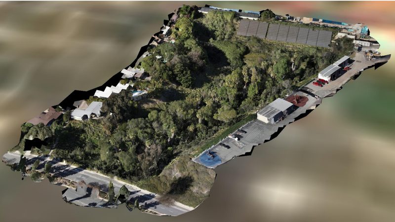
Aquaplex Canyon Terrain Analysis
LiDAR and drone photogrammetry of an eroding urban canyon at SDSU, with an interactive 3D model of the valley volume.
View 3D Model →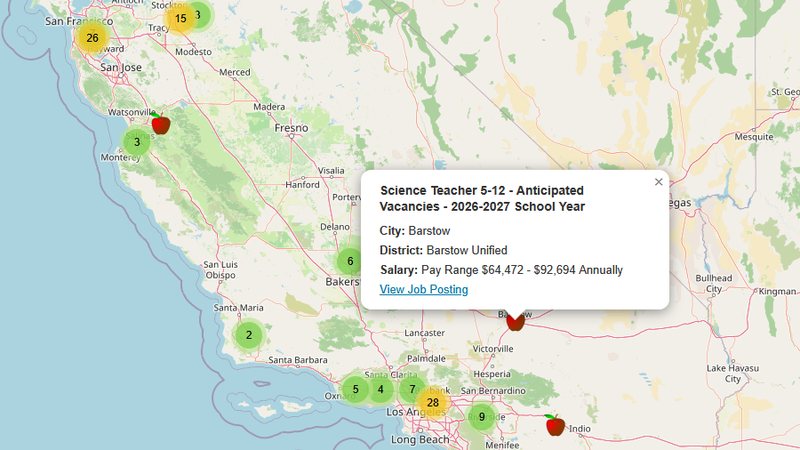
Interactive Job Map
A full-stack web map pulling live job listings from two APIs, with clustered markers, search, and salary details.
Open Map →